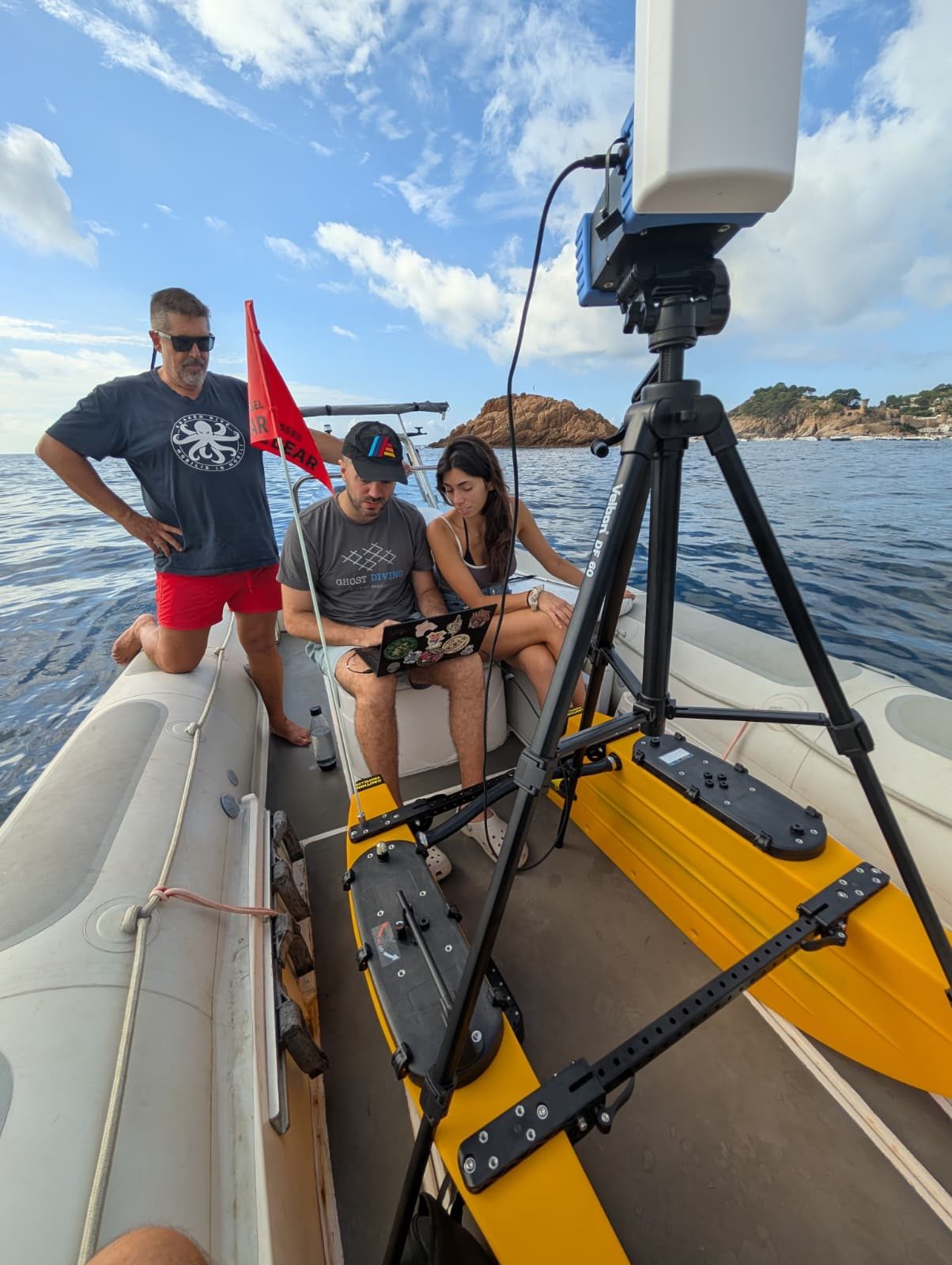
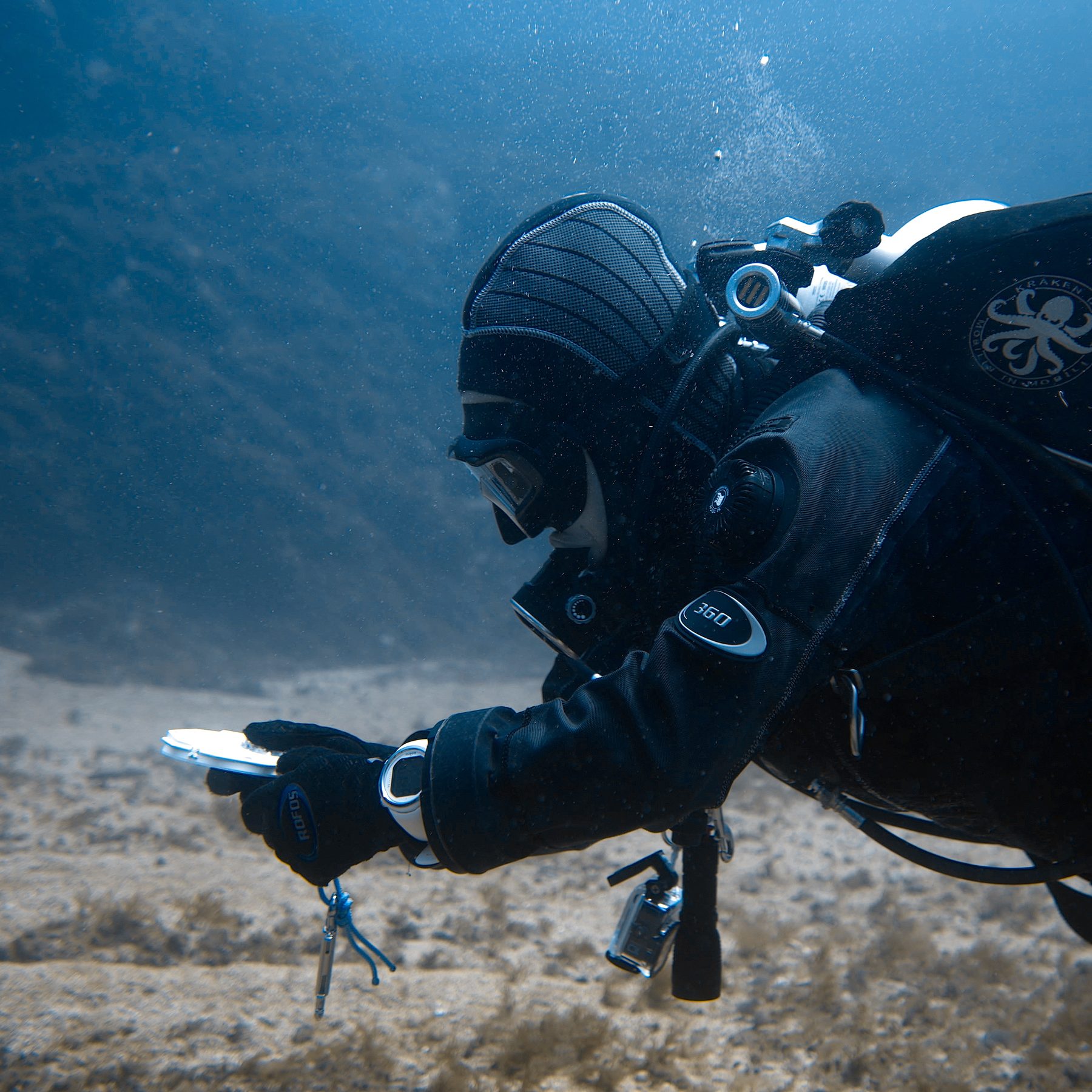
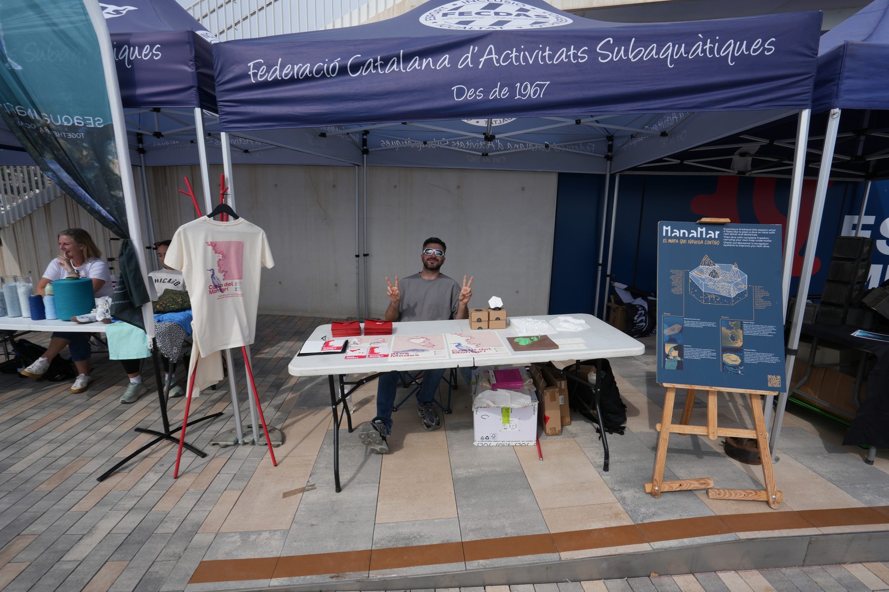
I started this project because diving had no proper cartography — no tools bringing relevant information to divers where it matters most: underwater.
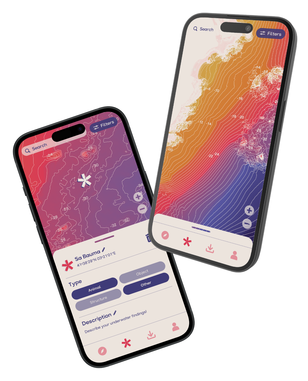
Now it's the world's first collaborative underwater map app.
App launched on Android · June 2026
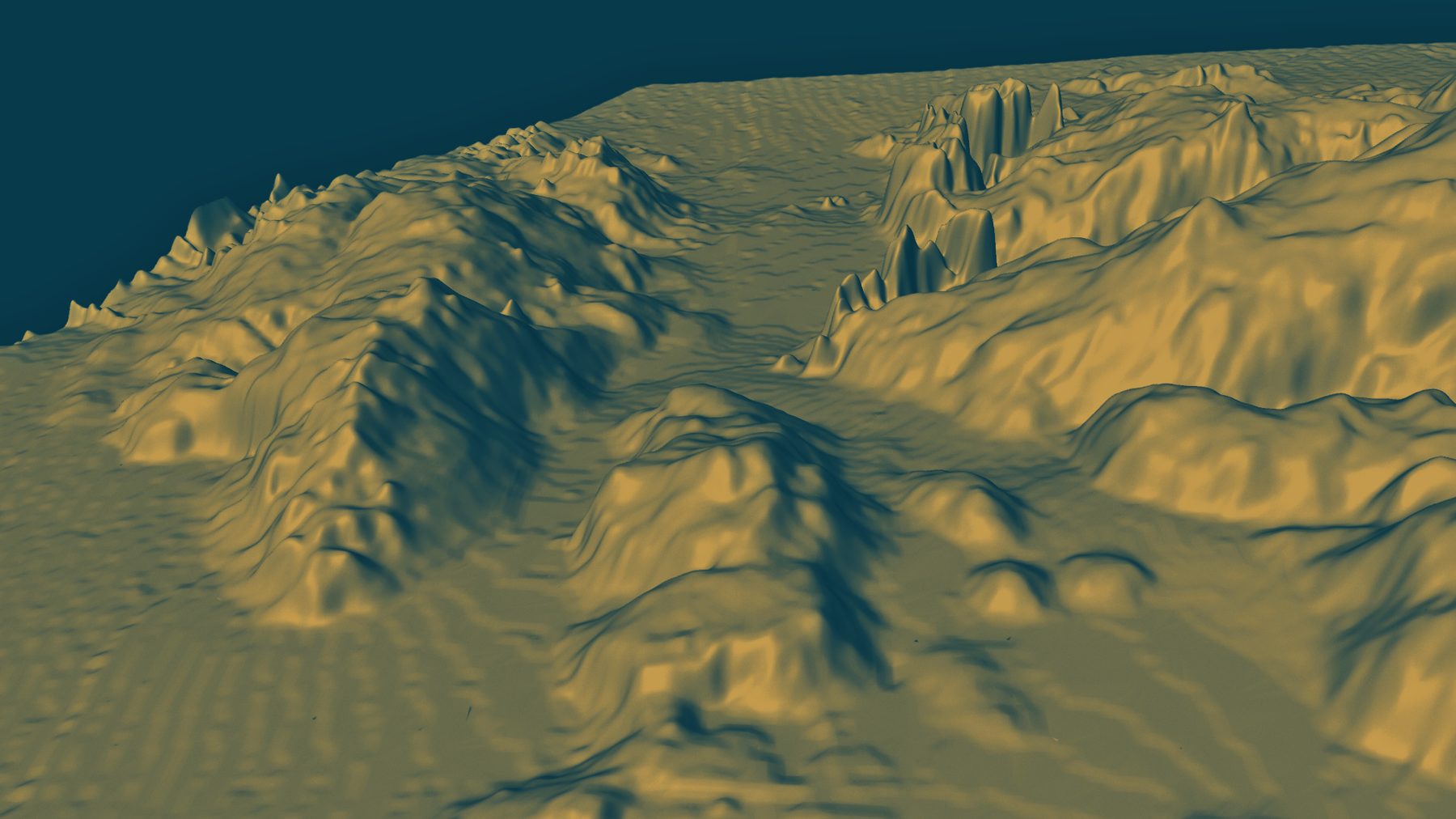
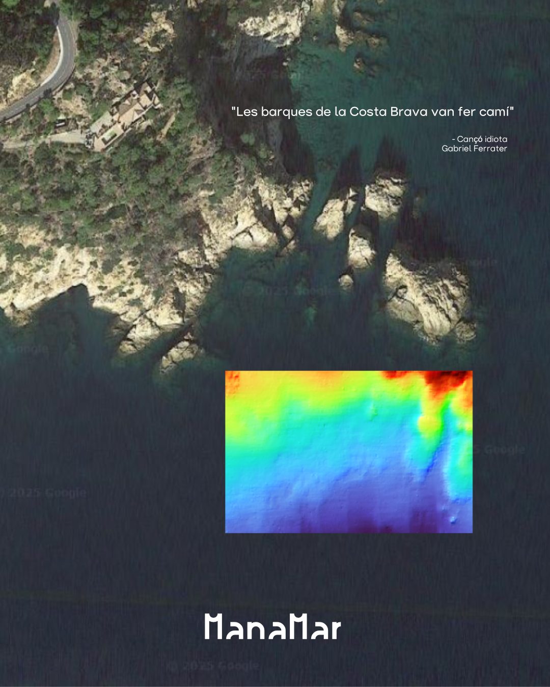
Raw bathymetric data is millions of scattered depth points — unreadable without a GIS pipeline built to translate it.
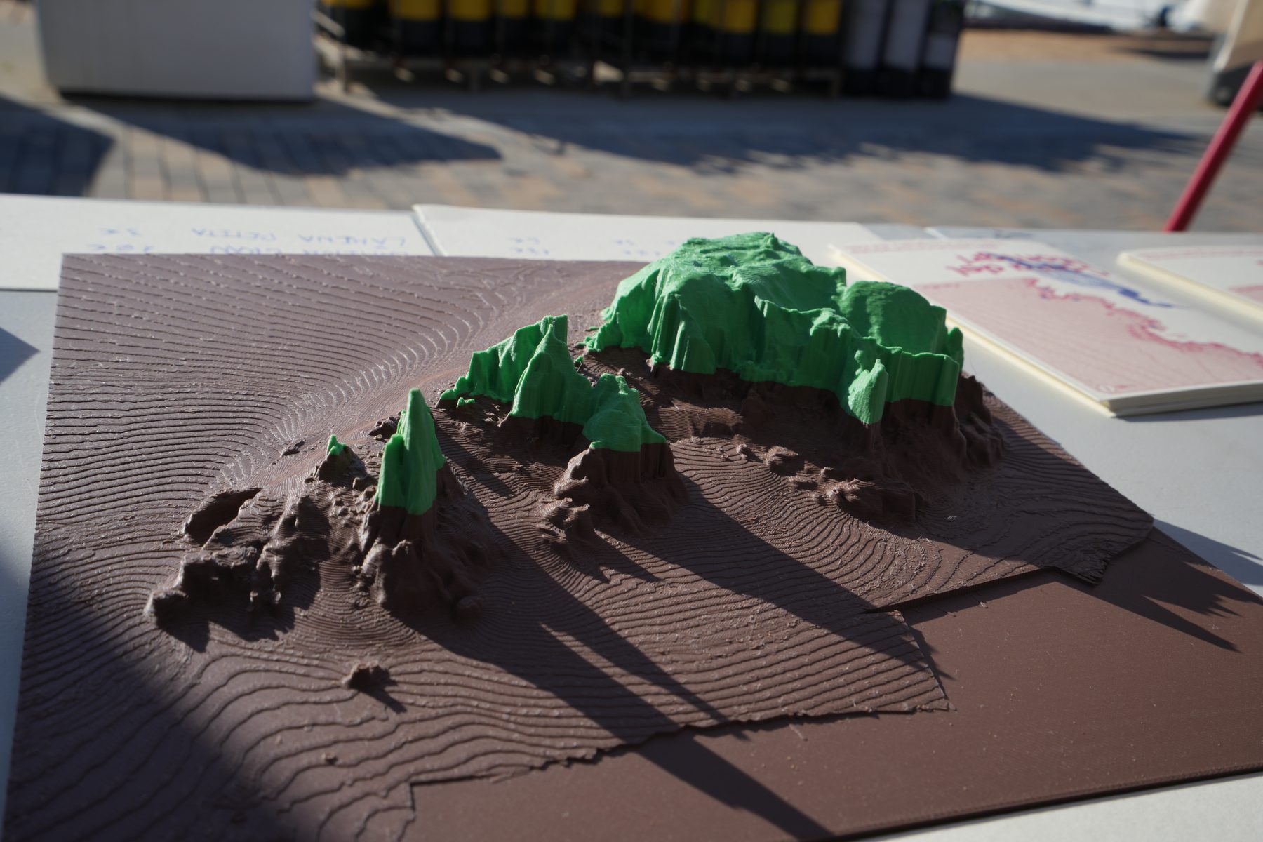
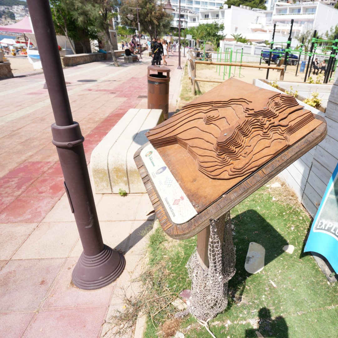
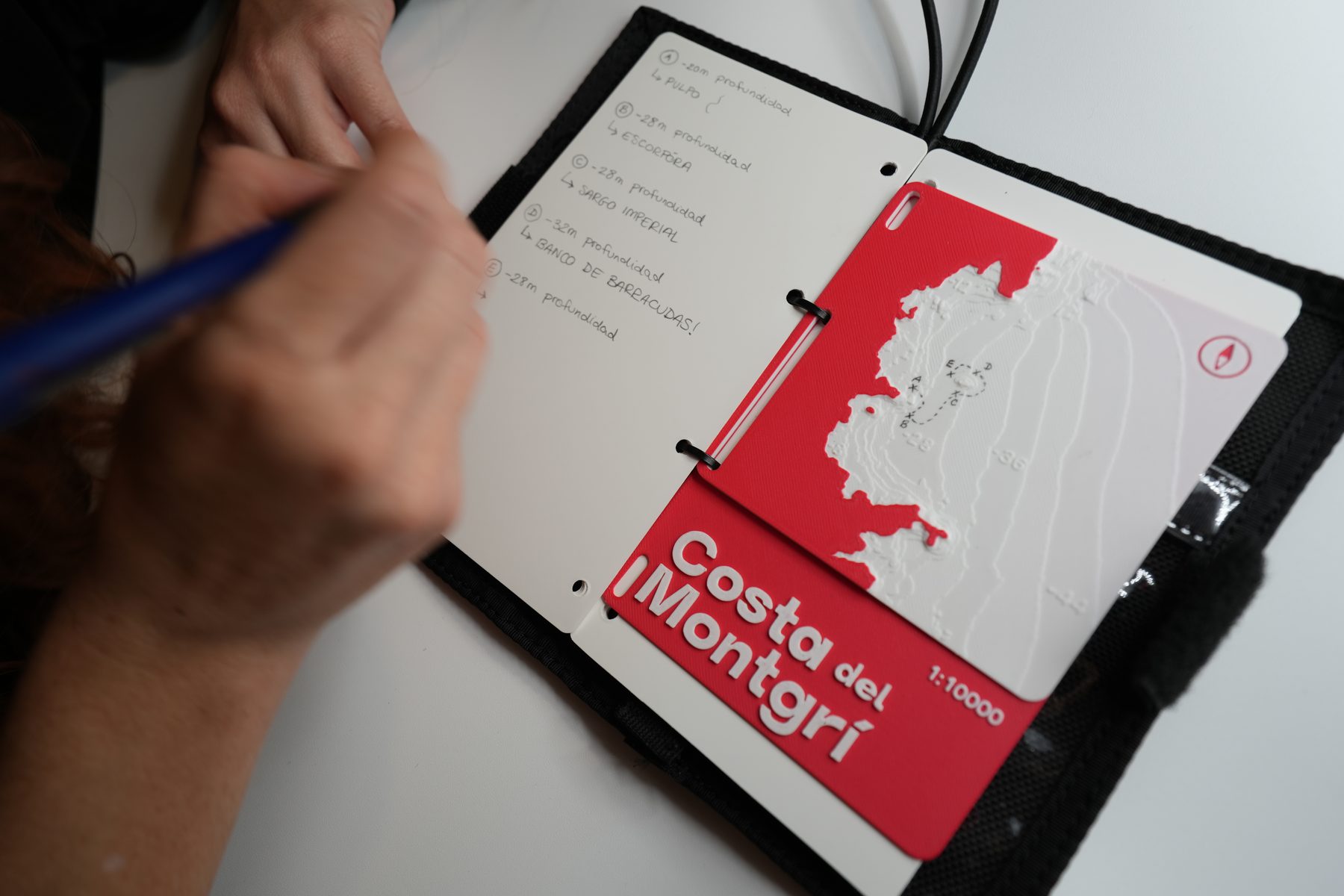
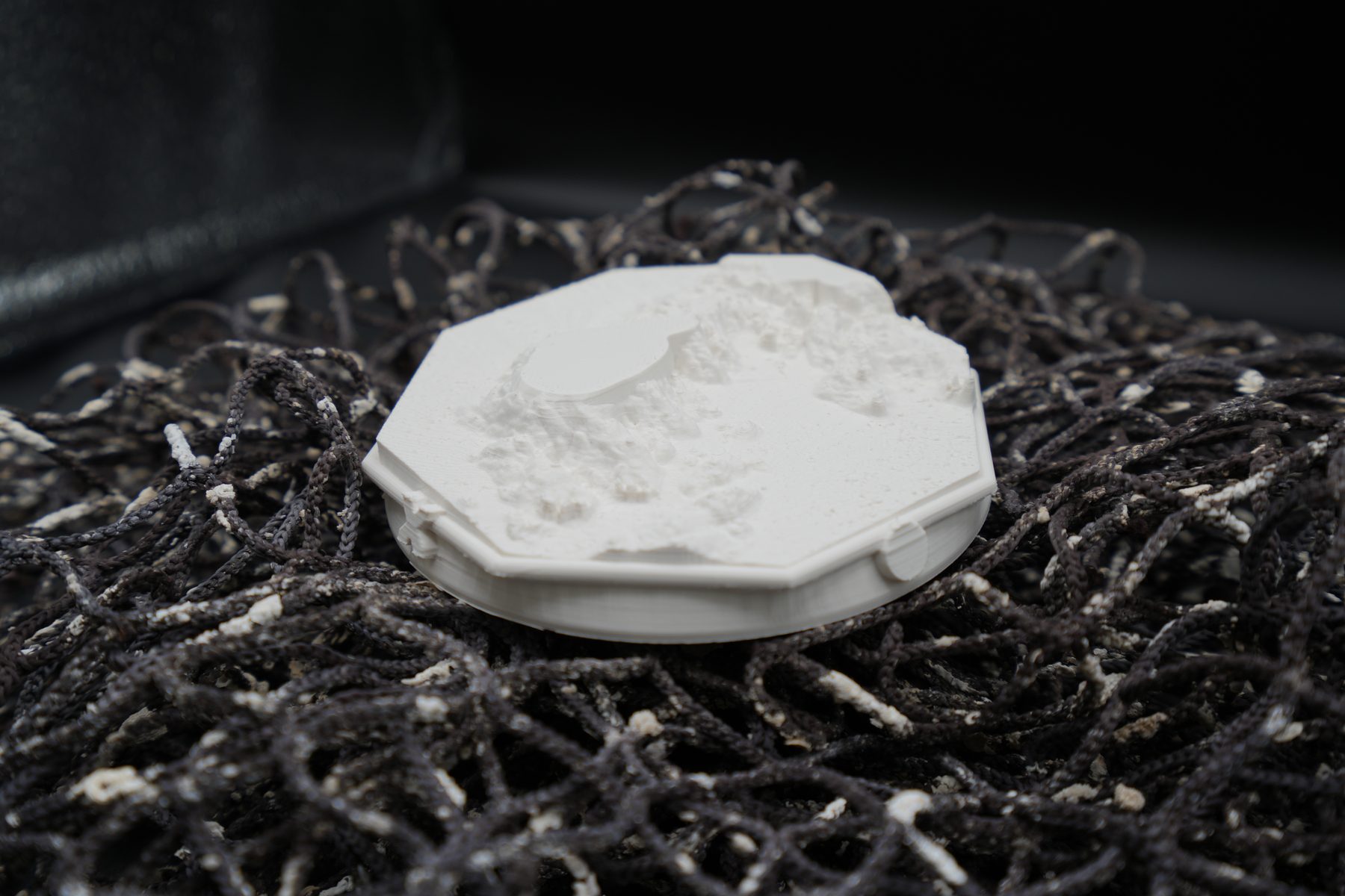
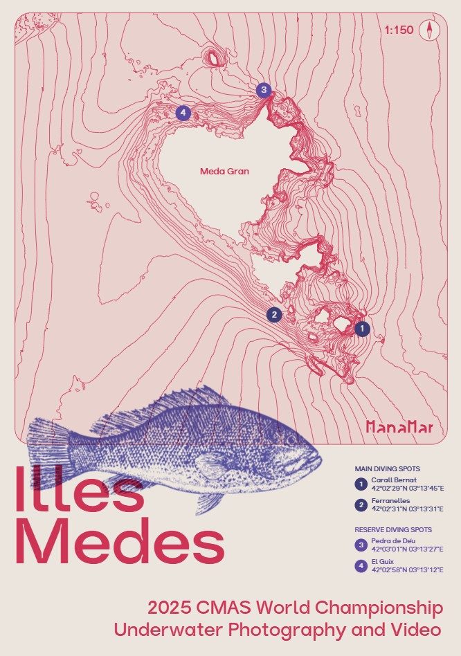
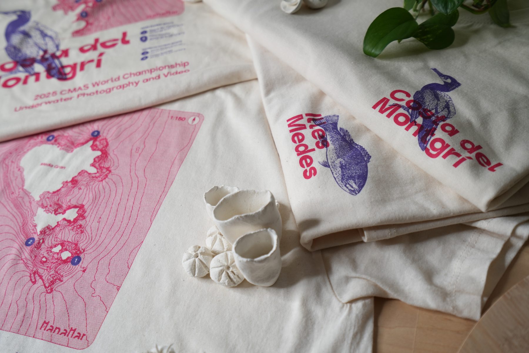
I turned the same survey data into 2D prints and 3D-printed models — formats built to work both on the surface and below it.
A collaborative underwater map app, built to scale worldwide — and to host B2B services for the dive industry.


ManaMar's own product: a collaborative underwater map built by divers, for divers — offline-ready, with live depth contours pulled from the same pipeline.